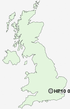
Postcode : HP10 0HF, Wooburn Green, Buckinghamshire
School Road, Wooburn Green, High Wycombe.
HP10 0HF close to Wooburn Green, Berghers Hill, Hedsor and Wooburn Moor.
Classification
HP10 0HF : Suburbanites / Semi-detached suburbia / White suburban communities
Local Authority Wycombe
Primary Care Trust Buckinghamshire
Ward The Wooburns
Constituency Beaconsfield
Region South East
Country England
Postcode Area HP : Hemel Hempstead
HP10 Postcode Sectors
HP10 8 Beacon Hill, Penn, Tylers Green
HP10 0 Berghers Hill, Cores End, Hedsor, Wooburn, Wooburn Common
HP10 0 Berghers Hill, Cores End, Hedsor, Wooburn, Wooburn Common
HP10 0HF Nearby Postcode Districts
HA0 HA1 HA2 HA3 HA4 HA5 HA6 HA7 HA9 HP10 HP11 HP12 HP13 HP14 HP15 HP6 HP7 HP8 HP9 OX49 RG9 SL0 SL1 SL2 SL3 SL6 SL7 SL8 SL9 UB1 UB10 UB11 UB2 UB3 UB4 UB5 UB6 UB7 UB8 UB9 W13 W5 W7 WD1 WD17 WD18 WD19 WD2 WD23 WD24 WD25 WD3 WD7
Stations near to HP10 0HF
Bourne End Rail Station about 1.58 miles away.Beaconsfield Rail Station about 2.13 miles away.
Cookham Rail Station about 2.94 miles away.
HP10 0HF Schools
The Meadows SchoolJuniper Hill School
Holtspur School & Pre-School
The Wye Valley School
Carrington Junior School
Carrington Infant School
Claytons Primary School
Loudwater Combined School
Beaconsfield High School
UK Search
Antique Jewellery
including Antique Engagement Rings for sale from UK Antique specialists.