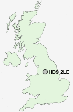
Postcode : HD9 2LE, Holmfirth, Kirklees, West Yorkshire
Burnlee Road, Holmfirth.
HD9 2LE close to Upperthong, Burnlee, Hogley Green, Cartworth, Under Bank and Arrunden.
Classification
HD9 2LE : Urbanites / Ageing urban living / Self-sufficient retirement
Local Authority Kirklees
Primary Care Trust Kirklees
Ward Holme Valley South
Constituency Colne Valley
Region Yorkshire and The Humber
Country England
Postcode Area HD : Huddersfield
HD9 Postcode Sectors
HD9 2 Arrunden, Burnlee, Cartworth, Flush House, Hade Edge
HD9 7 Barnside, Fulstone, Jackson Bridge, Maythorn, New Mill
HD9 6 Brockholes, Honley, Honley Moor, Oldfield, Scotgate
HD9 5 Crosland Edge, Helme, Meltham
HD9 7 Barnside, Fulstone, Jackson Bridge, Maythorn, New Mill
HD9 6 Brockholes, Honley, Honley Moor, Oldfield, Scotgate
HD9 5 Crosland Edge, Helme, Meltham
HD9 1 Hepworth, Holmfirth, Totties, Wooldale
HD9 4 Meltham Mills, Thick Hollins, Wilshaw
HD9 3 Netherthong, Upperthong
HD9 4 Meltham Mills, Thick Hollins, Wilshaw
HD9 3 Netherthong, Upperthong
HD9 2LE Nearby Postcode Districts
HD1 HD3 HD4 HD5 HD7 HD8 HD9 M11 M24 M35 M40 M43 OL1 OL11 OL12 OL15 OL16 OL2 OL3 OL4 OL5 OL6 OL7 OL8 OL9 S36 S70 S71 S74 S75 SK15 SK16 WF4
Stations near to HD9 2LE
Brockholes Rail Station about 2.42 miles away.Honley Rail Station about 2.96 miles away.
HD9 2LE Schools
Upperthong Junior and Infant SchoolHolmfirth Junior Infant and Nursery School
Hinchliffe Mill Junior and Infant School
Netherthong Primary School
Scholes (Holmfirth) J & I School
Kirkroyds Infant School
Holmfirth High School
Hade Edge Junior and Infant School
Wooldale Junior School
UK Search
Antique Jewellery
including Antique Engagement Rings for sale from UK Antique specialists.