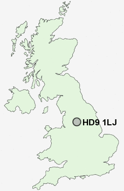
Postcode : HD9 1LJ, Holmfirth, Kirklees, West Yorkshire
Royds Avenue, New Mill, Holmfirth.
HD9 1LJ close to Totties, Wooldale, Thongsbridge, New Mill, Jackson Bridge and Scholes.
Classification
HD9 1LJ : Hard-pressed living / Industrious communities / Industrious hardship
Local Authority Kirklees
Primary Care Trust Kirklees
Ward Holme Valley South
Constituency Colne Valley
Region Yorkshire and The Humber
Country England
Postcode Area HD : Huddersfield
HD9 Postcode Sectors
HD9 2 Arrunden, Burnlee, Cartworth, Flush House, Hade Edge
HD9 7 Barnside, Fulstone, Jackson Bridge, Maythorn, New Mill
HD9 6 Brockholes, Honley, Honley Moor, Oldfield, Scotgate
HD9 5 Crosland Edge, Helme, Meltham
HD9 7 Barnside, Fulstone, Jackson Bridge, Maythorn, New Mill
HD9 6 Brockholes, Honley, Honley Moor, Oldfield, Scotgate
HD9 5 Crosland Edge, Helme, Meltham
HD9 1 Hepworth, Holmfirth, Totties, Wooldale
HD9 4 Meltham Mills, Thick Hollins, Wilshaw
HD9 3 Netherthong, Upperthong
HD9 4 Meltham Mills, Thick Hollins, Wilshaw
HD9 3 Netherthong, Upperthong
HD9 1LJ Nearby Postcode Districts
HD1 HD2 HD3 HD4 HD5 HD7 HD8 HD9 M35 M43 OL1 OL15 OL16 OL2 OL3 OL4 OL5 OL6 OL7 OL8 OL9 S36 S70 S71 S72 S73 S74 S75 SK15 WF2 WF4
Stations near to HD9 1LJ
Brockholes Rail Station about 1.44 miles away.Stocksmoor Rail Station about 2.04 miles away.
Honley Rail Station about 2.31 miles away.
Berry Brow Rail Station about 3.32 miles away.
HD9 1LJ Schools
Wooldale Junior SchoolKirkroyds Infant School
Holmfirth High School
Scholes (Holmfirth) J & I School
Holmfirth Junior Infant and Nursery School
Netherthong Primary School
Hepworth Junior and Infant School
Upperthong Junior and Infant School
UK Search
Antique Jewellery
including Antique Engagement Rings for sale from UK Antique specialists.