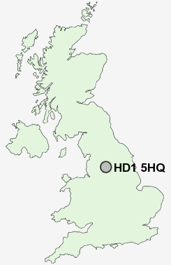
Postcode : HD1 5HQ, Kirklees, West Yorkshire
Blacker Road, Huddersfield.
HD1 5HQ close to Huddersfield and Bradley Mills.
Classification
HD1 5HQ : Multicultural metropolitans / Challenged Asian terraces / Asian terraces and flats
Local Authority Kirklees
Primary Care Trust Kirklees
Ward Greenhead
Constituency Huddersfield
Region Yorkshire and The Humber
Country England
Postcode Area HD : Huddersfield
HD1 Postcode Sectors
HD1 5HQ Nearby Postcode Districts
BD11 BD12 BD19 HD1 HD2 HD3 HD4 HD5 HD6 HD7 HD8 HD9 HX1 HX2 HX3 HX4 HX5 HX6 HX7 LS26 LS27 OL11 OL12 OL14 OL15 OL16 OL2 S71 S75 WF1 WF12 WF13 WF14 WF15 WF16 WF17 WF2 WF3 WF4 WF5 WF6
Stations near to HD1 5HQ
Huddersfield Rail Station about 0.64 miles away.Lockwood Rail Station about 1.59 miles away.
Deighton Rail Station about 1.79 miles away.
Berry Brow Rail Station about 2.48 miles away.
Brighouse Rail Station about 2.89 miles away.
Honley Rail Station about 3.39 miles away.
HD1 5HQ Schools
Birkby Infant and Nursery SchoolSpring Grove Junior Infant and Nursery School
Fartown High School
Paddock Junior Infant and Nursery School
Rawthorpe Junior School
Royds Hall Community School
Moldgreen Community Primary School
Netherhall Learning Campus High School
UK Search
Antique Jewellery
including Antique Engagement Rings for sale from UK Antique specialists.