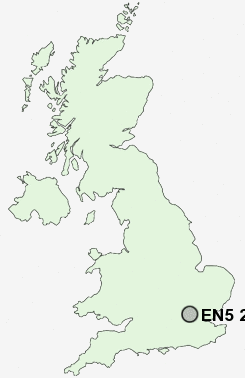
Postcode : EN5 2LZ, Barnet, Greater London, Barnet, Greater London
Mays Lane, Barnet.
EN5 2LZ close to Barnet, Ducks Island, Chipping Barnet, High Barnet, Underhill and Arkley.
Classification
EN5 2LZ : Multicultural metropolitans / Asian traits / Inner city ethnic mix
Local Authority Barnet
Primary Care Trust Barnet
Ward Underhill
Constituency Chipping Barnet
Region London
Country England
Postcode Area EN : Enfield
EN5 Postcode Sectors
EN5 1 New Barnet, Underhill
EN5 2LZ Nearby Postcode Districts
AL2 AL9 CM16 E10 E11 E12 E17 E18 E4 E5 E7 EN1 EN10 EN2 EN3 EN4 EN5 EN6 EN7 EN8 EN9 HA0 HA1 HA2 HA3 HA4 HA5 HA6 HA7 HA8 HA9 HP3 HP6 HP8 IG1 IG10 IG2 IG3 IG4 IG5 IG6 IG7 IG8 IG9 N10 N11 N12 N13 N14 N15 N16 N17 N18 N19 N2 N20 N21 N22 N3 N4 N5 N6 N7 N8 N9 NW11 NW2 NW3 NW4 NW5 NW7 NW9 RM1 RM10 RM4 RM5 RM6 RM7 RM8 SL9 UB10 UB9 WD1 WD17 WD18 WD19 WD2 WD23 WD24 WD25 WD3 WD4 WD5 WD6 WD7
Stations near to EN5 2LZ
New Barnet Rail Station about 1.49 miles away.Oakleigh Park Rail Station about 1.83 miles away.
Hadley Wood Rail Station about 2.1 miles away.
Mill Hill Broadway Rail Station about 2.85 miles away.
EN5 2LZ Schools
Underhill SchoolUnderhill Junior School
Whitings Hill Primary School
The Ravenscroft School a Technology College
Woodridge Primary School
UK Search
Antique Jewellery
including Antique Engagement Rings for sale from UK Antique specialists.