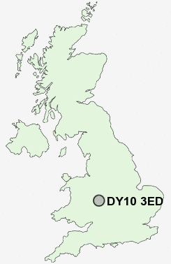
Postcode : DY10 3ED, Worcestershire, Hereford And Worcester
Borrington Road, Kidderminster.
DY10 3ED close to Offmore Farm, Stone, Aggborough, Spennells, Greenhill and Stanklyn.
Classification
DY10 3ED : Suburbanites / Semi-detached suburbia / Older workers and retirement
Local Authority Wyre Forest
Primary Care Trust Worcestershire
Ward Offmore & Comberton
Constituency Wyre Forest
Region West Midlands
Country England
Postcode Area DY : Dudley
DY10 Postcode Sectors
DY10 3ED Nearby Postcode Districts
B1 B10 B11 B12 B13 B14 B15 B16 B17 B2 B28 B29 B3 B30 B31 B32 B38 B45 B47 B48 B5 B60 B61 B62 B63 B64 B68 B9 B97 B98 DY10 DY11 DY12 DY13 DY14 DY5 DY7 DY8 DY9 WR15
Stations near to DY10 3ED
Kidderminster Rail Station about 0.55 miles away.Blakedown Rail Station about 2.69 miles away.
Hartlebury Rail Station about 3.27 miles away.
DY10 3ED Schools
Comberton Primary SchoolCookley Sebright Primary School
Offmore Primary School
St George's CofE Primary School and Nursery
Kidderminster, St Ambrose Catholic Primary
Holy Trinity School
Heronswood Primary School
Madinatul Uloom Al Islamiya School
St Mary's CofE (VA) Primary School
Foley Park Primary School and Nursery
Heathfield Knoll
UK Search
Antique Jewellery
including Antique Engagement Rings for sale from UK Antique specialists.