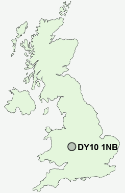
Postcode : DY10 1NB, Aggborough, Worcestershire
Hoo Road, Kidderminster, Worcestershire.
DY10 1NB close to Aggborough, Offmore Farm and Hoobrook.
Classification
DY10 1NB : Urbanites / Urban professionals and families / Families in terraces and flats
Local Authority Wyre Forest
Primary Care Trust Worcestershire
Ward Aggborough & Spennells
Constituency Wyre Forest
Region West Midlands
Country England
Postcode Area DY : Dudley
DY10 Postcode Sectors
DY10 1NB Nearby Postcode Districts
B1 B10 B11 B12 B13 B14 B15 B16 B17 B2 B29 B3 B30 B31 B32 B38 B45 B47 B48 B5 B60 B61 B62 B63 B64 B68 B9 B97 B98 DY10 DY11 DY12 DY13 DY14 DY5 DY7 DY8 DY9 WR15
Stations near to DY10 1NB
Kidderminster Rail Station about 0.3 miles away.Hartlebury Rail Station about 3.38 miles away.
DY10 1NB Schools
Holy Trinity SchoolComberton Primary School
Foley Park Primary School and Nursery
Heronswood Primary School
Offmore Primary School
Sutton Park Community Primary School
Baxter College
Birchen Coppice Primary School
Franche Primary School
Madinatul Uloom Al Islamiya School
UK Search
Antique Jewellery
including Antique Engagement Rings for sale from UK Antique specialists.