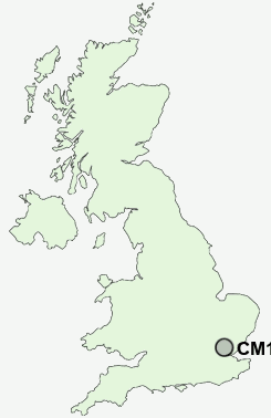
Postcode : CM15 9NN, Brentwood, Essex
Brentwood, Essex.
CM15 9NN close to Pilgrims Hatch and Crow Green.
Classification
CM15 9NN : Urbanites / Urban professionals and families / Multi-ethnic professionals with families
Local Authority Brentwood
Primary Care Trust South West Essex
Ward Pilgrims Hatch
Constituency Brentwood and Ongar
Region Eastern
Country England
Postcode Area CM : Chelmsford
CM15 Postcode Sectors
CM15 9NN Nearby Postcode Districts
CM11 CM12 CM13 CM14 CM15 CM16 CM2 CM3 CM4 CM5 E10 E11 E12 E15 E17 E18 E4 E5 E7 E8 E9 EN1 EN2 EN3 EN7 EN8 EN9 IG1 IG10 IG11 IG2 IG3 IG4 IG5 IG6 IG7 IG8 IG9 N1 N15 N16 N17 N18 N21 N5 N9 RM1 RM10 RM11 RM12 RM14 RM2 RM3 RM4 RM5 RM6 RM7 RM8 RM9 SS0 SS11 SS12 SS13 SS14 SS15 SS16 SS5 SS6 SS7 SS9
Stations near to CM15 9NN
Shenfield Rail Station about 1.33 miles away.Brentwood Rail Station about 1.47 miles away.
CM15 9NN Schools
Larchwood Primary SchoolSawyers Hall College
Shenfield High School
Brentwood County High School
Herington House School
Hogarth Primary School
Long Ridings Primary School
Holly Trees Primary School
UK Search
Antique Clocks
Browse Antique Clocks for sale from British antique dealers.