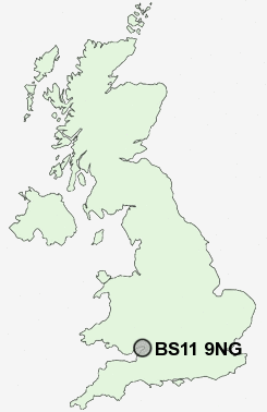
Postcode : BS11 9NG, Avonmouth, City Of Bristol, Bristol
Barrack's Lane, Bristol.
BS11 9NG close to Avonmouth, Shirehampton and Lodway.
Classification
BS11 9NG : Constrained city dwellers / Challenged diversity / Transitional Eastern European neighbourhood
Local Authority Bristol, City of
Primary Care Trust Bristol
Ward Avonmouth and Lawrence Weston
Constituency Bristol North West
Region South West
Country England
Postcode Area BS : Bristol
BS11 Postcode Sectors
BS11 9NG Nearby Postcode Districts
BS1 BS10 BS11 BS13 BS14 BS15 BS16 BS2 BS20 BS21 BS3 BS30 BS31 BS32 BS34 BS35 BS36 BS37 BS4 BS41 BS48 BS5 BS6 BS7 BS8 BS9 BS99 GL9 NP10 NP19 NP20 NP26
Stations near to BS11 9NG
Avonmouth Rail Station about 0.77 miles away.Shirehampton Rail Station about 0.82 miles away.
St Andrews Road Rail Station about 1.29 miles away.
Sea Mills Rail Station about 1.8 miles away.
BS11 9NG Schools
Nova Primary SchoolShirehampton Primary School
Portway Community School
Weston Park Primary School
St Bernard's Catholic Primary School
Our Lady of the Rosary Catholic Primary School, Bristol
St Bede's Catholic College
Sea Mills Infant School
St Katherine's School
Bank Leaze Primary School
Sea Mills Junior School
UK Search
Antique Clocks
Browse Antique Clocks for sale from British antique dealers.