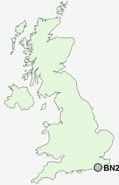
Postcode : BN27, East Sussex
Postcodes in the BN27 sector. Covering areas such as Burgh Hill, Windmill Hill, Upper Horsebridge, Rickney, Hellingly, Bodle Street Green, Hailsham, Chalvington, Nash Street, Chilsham, Thunder's Hill, Cowbeech, Lower Horsebridge, Stunts Green and East Sussex.
Postcode Area BN : Brighton
BN27 Postcode Sectors
BN27 4 Bodle Street Green, Boreham Street, Burgh Hill, Chapel Row, Chilsham
BN27 3 Chalvington, Upper Dicker
BN27 3 Chalvington, Upper Dicker
BN27 Nearby Postcode Districts
BN10 BN2 BN20 BN21 BN22 BN23 BN24 BN25 BN26 BN27 BN7 BN8 BN9 RH15 TN21 TN33 TN34 TN35 TN37 TN38 TN39 TN40
Stations near to BN27
Polegate Rail Station about 3.54 miles away.BN27 Schools
White House Primary SchoolMarshlands Primary School
Hailsham Community College
Hawkes Farm Primary School
Grovelands Community Primary School
Hellingly Community Primary School
UK Search
Antique Clocks
Browse Antique Clocks for sale from British antique dealers.
