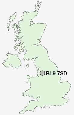
Postcode : BL9 7SD, Bury, Greater Manchester
Bury, Greater Manchester.
BL9 7SD close to Whitefield, Fairfield, Woodgate Hill, Jericho, Heap Bridge and Free Town.
Classification
BL9 7SD : Constrained city dwellers / White communities / Outer city hardship
Local Authority Bury
Primary Care Trust Bury
Ward East
Constituency Bury North
Region North West
Country England
Postcode Area BL : Bolton
BL9 Postcode Sectors
BL9 5 Baldingstone, Fernhill, Limefield, Summerseat, Walmersley
BL9 6 Birtle, Chesham, Free Town, Nangreaves
BL9 9 Blackford Bridge, Fishpool, Gigg, Redvales
BL9 6 Birtle, Chesham, Free Town, Nangreaves
BL9 9 Blackford Bridge, Fishpool, Gigg, Redvales
BL9 0 Bury
BL9 7 Fairfield, Heap Bridge, Jericho, Pimhole, Woodgate Hill
BL9 8 Hollins, Sunny Bank, Unsworth, Whitefield
BL9 7 Fairfield, Heap Bridge, Jericho, Pimhole, Woodgate Hill
BL9 8 Hollins, Sunny Bank, Unsworth, Whitefield
BL9 7SD Nearby Postcode Districts
BB3 BL0 BL1 BL2 BL3 BL4 BL5 BL6 BL7 BL8 BL9 HD7 HX4 HX6 M24 M25 M26 M27 M28 M29 M35 M38 M40 M45 M46 M7 M8 M9 OL1 OL10 OL11 OL12 OL15 OL16 OL2 OL3 OL4 OL5 OL8 OL9 PR6 PR7 WN1 WN2 WN3
BL9 7SD Schools
Fairfield Community Primary SchoolBroad Oak Sports College
Heap Bridge Village Primary School
East Ward Community Primary School
Heywood Community High School
Chesham Primary School
Woodland Community Primary School
Bury Catholic Preparatory School
Springside Primary School
UK Search
Antique Clocks
Browse Antique Clocks for sale from British antique dealers.