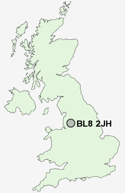
Postcode : BL8 2JH, Starling, Bury, Greater Manchester
Bury, Greater Manchester.
BL8 2JH close to Starling, Walshaw, Bolholt, Woolfold and Elton.
Classification
BL8 2JH : Suburbanites / Semi-detached suburbia / Older workers and retirement
Local Authority Bury
Primary Care Trust Bury
Ward Church
Constituency Bury North
Region North West
Country England
Postcode Area BL : Bolton
BL8 Postcode Sectors
BL8 2JH Nearby Postcode Districts
BL0 BL1 BL2 BL3 BL4 BL5 BL6 BL7 BL8 BL9 M24 M25 M26 M27 M28 M29 M35 M38 M40 M45 M46 M6 M7 M8 M9 OL1 OL10 OL11 OL12 OL15 OL16 OL2 OL3 OL4 OL5 OL6 OL7 OL8 OL9 PR6 PR7 WN1 WN2 WN3 WN4 WN5 WN6 WN7
Stations near to BL8 2JH
Kearsley Rail Station about 3.47 miles away.BL8 2JH Schools
Greenhill Primary SchoolLowercroft Primary School
Chantlers Primary School
The Elton High School
Elton Community Primary School
The Derby High School
Woodbank Primary School
Tottington Primary School
Radcliffe Primary School
Tottington High School
Radcliffe Riverside School
UK Search
Antique Clocks
Browse Antique Clocks for sale from British antique dealers.