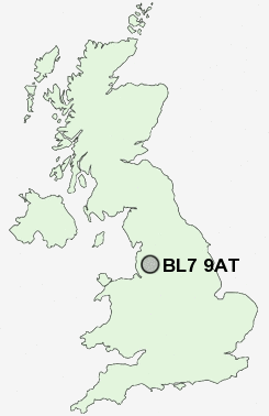
Postcode : BL7 9AT, Toppings, Bolton, Greater Manchester
Bromley Cross, Bolton.
BL7 9AT close to Toppings, Eagley, Cox Green and Egerton.
Classification
BL7 9AT : Suburbanites / Semi-detached suburbia / Semi-detached ageing
Local Authority Bolton
Primary Care Trust Bolton Teaching
Ward Bromley Cross
Constituency Bolton North East
Region North West
Country England
Postcode Area BL : Bolton
BL7 Postcode Sectors
BL7 9AT Nearby Postcode Districts
BB3 BB4 BL0 BL1 BL2 BL3 BL4 BL5 BL6 BL7 BL8 BL9 M24 M25 M26 M38 M45 M46 M9 OL1 OL10 OL11 OL12 OL13 OL14 OL15 OL16 OL2 OL4 OL5 OL8 OL9 PR25 PR26 PR6 PR7 WN1 WN2 WN3 WN5 WN6 WN8
Stations near to BL7 9AT
Bromley Cross Rail StationHall i' th' Wood Rail Station about 1.34 miles away.
Entwistle Rail Station about 2.71 miles away.
Bolton Rail Station about 2.99 miles away.
BL7 9AT Schools
Eagley Junior SchoolTurton School
Eagley Infant School
The Oaks Primary School
Sharples School
Castle Hill Primary School
Egerton Primary School
Hardy Mill Primary School
The Valley Community Primary School
UK Search
Antique Clocks
Browse Antique Clocks for sale from British antique dealers.