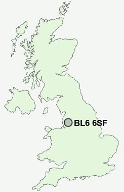
Postcode : BL6 6SF, Horwich, Bolton, Greater Manchester
Horwich, Bolton, Greater Manchester.
Classification
BL6 6SF : Rural residents / Rural tenants / Rural white-collar workers
Local Authority Bolton
Primary Care Trust Bolton Teaching
Ward Heaton and Lostock
Constituency Bolton West
Region North West
Country England
Postcode Area BL : Bolton
BL6 Postcode Sectors
BL6 5 Blackrod, Horwich, Little Scotland, Scot Lane End
BL6 6 Bottom o' th' Moor, Montcliffe, Wallsuches, Wilderswood
BL6 6 Bottom o' th' Moor, Montcliffe, Wallsuches, Wilderswood
BL6 6SF Nearby Postcode Districts
BL0 BL1 BL2 BL3 BL4 BL5 BL6 BL7 BL8 BL9 L33 L39 L40 M2 M24 M25 M26 M27 M28 M29 M3 M30 M35 M38 M4 M40 M43 M45 M46 M6 M60 M7 M8 M9 OL10 OL11 OL12 OL9 PR6 PR7 WN1 WN2 WN3 WN4 WN5 WN6 WN7 WN8
Stations near to BL6 6SF
Horwich Parkway Rail StationBlackrod Rail Station about 1.64 miles away.
Lostock Rail Station about 1.72 miles away.
Westhoughton Rail Station about 1.73 miles away.
Daisy Hill Rail Station about 2.9 miles away.
Hindley Rail Station about 3.1 miles away.
Hag Fold Rail Station about 3.57 miles away.
BL6 6SF Schools
Chorley New Road Primary SchoolClaypool Primary School
Horwich Parish CofE Primary School
Blackrod Primary School
The Gates Primary School
Lord Street Primary School
Westhoughton Primary School
Aspull Church Primary School
UK Search
Antique Clocks
Browse Antique Clocks for sale from British antique dealers.