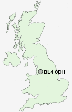
Postcode : BL4 0DH, Farnworth, Bolton, Greater Manchester
Farnworth, Bolton, Greater Manchester.
BL4 0DH close to Harper Green, Moses Gate, New Bury and Highfield.
Classification
BL4 0DH : Constrained city dwellers / White communities / Outer city hardship
Local Authority Bolton
Primary Care Trust Bolton Teaching
Ward Farnworth
Constituency Bolton South East
Region North West
Country England
Postcode Area BL : Bolton
BL4 Postcode Sectors
BL4 0DH Nearby Postcode Districts
BL0 BL1 BL2 BL3 BL4 BL5 BL6 BL7 BL8 BL9 M1 M11 M12 M13 M15 M16 M17 M18 M2 M24 M25 M26 M27 M28 M29 M3 M30 M34 M35 M38 M4 M40 M41 M43 M45 M46 M5 M6 M60 M7 M8 M9 OL1 OL10 OL11 OL12 OL15 OL16 OL2 OL4 OL5 OL6 OL7 OL8 OL9 PR7 SK14 SK15 SK16 WA10 WA11 WA12 WA3 WN1 WN2 WN3 WN4 WN5 WN6 WN7 WN8
Stations near to BL4 0DH
Moses Gate Rail Station about 0.6 miles away.Farnworth Rail Station about 1.01 miles away.
Kearsley Rail Station about 1.59 miles away.
Bolton Rail Station about 1.73 miles away.
Walkden Rail Station about 2.22 miles away.
Hall i' th' Wood Rail Station about 3.24 miles away.
BL4 0DH Schools
Queensbridge Primary SchoolDukesgate Primary School
North Walkden Primary School
Wharton Primary School
Little Lever School Specialist Language College
Bridgewater Primary School
Peel Hall Primary School
Hilton Lane Primary School
UK Search
Antique Clocks
Browse Antique Clocks for sale from British antique dealers.