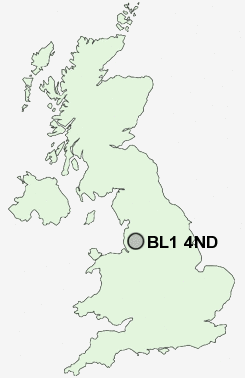
Postcode : BL1 4ND, Heaton, Bolton, Greater Manchester
Bolton, Greater Manchester.
BL1 4ND close to Heaton, Doffcocker, Markland Hill, Brownlow Fold and Halliwell.
Classification
BL1 4ND : Multicultural metropolitans / Asian traits / Inner city ethnic mix
Local Authority Bolton
Primary Care Trust Bolton Teaching
Ward Smithills
Constituency Bolton West
Region North West
Country England
Postcode Area BL : Bolton
BL1 Postcode Sectors
BL1 7 Astley Bridge, Bank Top, Horrocks Fold
BL1 5 Barrow Bridge, Heaton, Johnson Fold, Markland Hill
BL1 3 Brownlow Fold, Halliwell
BL1 5 Barrow Bridge, Heaton, Johnson Fold, Markland Hill
BL1 3 Brownlow Fold, Halliwell
BL1 4ND Nearby Postcode Districts
BL0 BL1 BL2 BL3 BL4 BL5 BL6 BL7 BL8 BL9 L40 M24 M25 M26 M27 M28 M29 M3 M30 M35 M38 M4 M40 M43 M45 M46 M6 M60 M7 M8 M9 OL1 OL10 OL11 OL12 OL15 OL16 OL2 OL4 OL6 OL7 OL8 OL9 PR6 PR7 WN1 WN2 WN3 WN4 WN5 WN6 WN7 WN8
Stations near to BL1 4ND
Bolton Rail Station about 1.49 miles away.Lostock Rail Station about 1.55 miles away.
Hall i' th' Wood Rail Station about 2.19 miles away.
Bromley Cross Rail Station about 2.99 miles away.
Hag Fold Rail Station about 3.62 miles away.
BL1 4ND Schools
Devonshire Road Primary SchoolGilnow Primary School
Church Road Primary School
Ladybridge High School
Smithills School
The Valley Community Primary School
Clarendon Primary School
Hayward School
UK Search
Antique Clocks
Browse Antique Clocks for sale from British antique dealers.