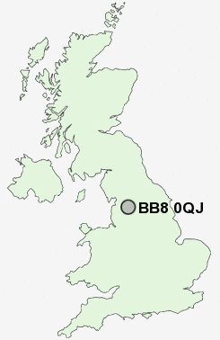
Postcode : BB8 0QJ, Colne, Lancashire
Rutland Street, Colne.
BB8 0QJ close to Trawden, Cotton Tree, Church Clough and Colne Edge.
Classification
BB8 0QJ : Constrained city dwellers / Challenged diversity / Hampered aspiration
Local Authority Pendle
Primary Care Trust East Lancashire Teaching
Ward Horsfield
Constituency Pendle
Region North West
Country England
Postcode Area BB : Blackburn
BB8 Postcode Sectors
BB8 0QJ Nearby Postcode Districts
BB10 BB11 BB12 BB18 BB6 BB7 BB8 BB9 BD13 BD14 BD15 BD16 BD17 BD18 BD20 BD21 BD22 BD6 BD7 BD8 BD9 LS29
Stations near to BB8 0QJ
Colne Rail Station about 0.98 miles away.BB8 0QJ Schools
Park Primary SchoolWest Street Community Primary School
Colne Park High School
Colne Lord Street School
Trawden Forest Primary School
Colne Primet Primary School
Colne Primet High School
Laneshaw Bridge Primary
Ss John Fisher and Thomas More Roman Catholic High School
Pendle Vale College
Nelson Castercliff Community Primary School
UK Search
Antique Clocks
Browse Antique Clocks for sale from British antique dealers.