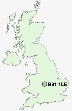
Postcode : B91 1LE, Solihull, West Midlands
Solihull, West Midlands.
B91 1LE close to Worlds End, Solihull, Sharmans Cross, Hillfield, Lode Heath and Blossomfield.
Classification
B91 1LE : Urbanites / Ageing urban living / Delayed retirement
Local Authority Solihull
Primary Care Trust Solihull
Ward St Alphege
Constituency Solihull
Region West Midlands
Country England
Postcode Area B : Birmingham
B91 Postcode Sectors
B91 1LE Nearby Postcode Districts
B1 B10 B11 B12 B13 B14 B15 B16 B17 B18 B19 B2 B20 B21 B25 B26 B27 B28 B29 B3 B30 B31 B32 B33 B34 B36 B37 B38 B4 B40 B45 B46 B47 B48 B5 B6 B60 B61 B62 B63 B64 B65 B66 B67 B68 B69 B7 B8 B9 B90 B91 B92 B93 B94 CV1 CV12 CV2 CV3 CV4 CV5 CV6 CV7 CV8 DY2 DY5 DY6 DY8 DY9
Stations near to B91 1LE
Solihull Rail StationWidney Manor Rail Station about 1.39 miles away.
Olton Rail Station about 1.81 miles away.
Acocks Green Rail Station about 2.75 miles away.
Spring Road Rail Station about 2.9 miles away.
Dorridge Rail Station about 3.27 miles away.
B91 1LE Schools
Alderbrook School and Arts CollegeTudor Grange School
Lode Heath School and Sports College
Cranmore Infant School
Blossomfield Infant and Nursery School
Langley School
Coppice Junior School
Monkspath Junior and Infant School
UK Search
Antique Clocks
Browse Antique Clocks for sale from British antique dealers.