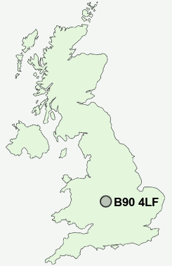
Postcode : B90 4LF, Solihull, West Midlands
Shirley, Solihull, West Midlands.
Classification
B90 4LF : Hard-pressed living / Challenged terraced workers / Deprived blue-collar terraces
Local Authority Solihull
Primary Care Trust Solihull
Ward Shirley South
Constituency Solihull
Region West Midlands
Country England
Postcode Area B : Birmingham
B90 Postcode Sectors
B90 4 Cheswick Green, Monkspath
B90 1 Dickens Heath, Hasluck's Green, Major's Green, Solihull Lodge, Trueman's Heath
B90 1 Dickens Heath, Hasluck's Green, Major's Green, Solihull Lodge, Trueman's Heath
B90 4LF Nearby Postcode Districts
B1 B10 B11 B12 B13 B14 B15 B16 B17 B18 B19 B2 B25 B26 B27 B28 B29 B3 B30 B31 B32 B33 B34 B37 B38 B4 B40 B45 B47 B48 B5 B60 B61 B62 B63 B64 B65 B66 B67 B68 B7 B8 B9 B90 B91 B92 B93 B94 B98 CV1 CV12 CV2 CV3 CV4 CV5 CV6 CV7 CV8 DY2 DY5 DY6 DY8 DY9
Stations near to B90 4LF
Solihull Rail Station about 1.3 miles away.Widney Manor Rail Station about 1.43 miles away.
Shirley Rail Station about 1.6 miles away.
Olton Rail Station about 2.69 miles away.
Hall Green Rail Station about 3.03 miles away.
The Lakes Rail Station about 3.2 miles away.
Spring Road Rail Station about 3.27 miles away.
Acocks Green Rail Station about 3.46 miles away.
B90 4LF Schools
Cranmore Infant SchoolAlderbrook School and Arts College
Tudor Grange School
Blossomfield Infant and Nursery School
Light Hall School
Monkspath Junior and Infant School
Burman Infant School
Haslucks Green School
Dickens Heath Community Primary School
UK Search
Antique Clocks
Browse Antique Clocks for sale from British antique dealers.