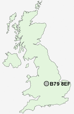
Postcode : B79 8EF, Leyfields, Staffordshire
Clifton Avenue, Tamworth.
B79 8EF close to Leyfields, Gillway, The Leys, Wigginton, The Alders and Borough Park.
Classification
B79 8EF : Hard-pressed living / Industrious communities / Industrious transitions
Local Authority Tamworth
Primary Care Trust South Staffordshire
Ward Mercian
Constituency Tamworth
Region West Midlands
Country England
Postcode Area B : Birmingham
B79 Postcode Sectors
B79 0 Alvecote, Clifton Campville, Little Warton, Newton Regis, No Man's Heath
B79 8 Borough Park, Leyfields
B79 8 Borough Park, Leyfields
B79 9 Comberford, Edingale, Elford, Harlaston, Haunton
B79 7 Coton, Gillway, Perry Crofts, The Alders, The Leys
B79 7 Coton, Gillway, Perry Crofts, The Alders, The Leys
B79 8EF Nearby Postcode Districts
B43 B72 B73 B74 B75 B77 B78 B79 CV13 CV9 DE12 LE67 WS1 WS10 WS11 WS12 WS13 WS14 WS2 WS3 WS4 WS5 WS6 WS7 WS8 WS9 WV11 WV12 WV13 WV14
Stations near to B79 8EF
Tamworth Rail Station about 1 miles away.Tamworth High Level Rail Station about 1 miles away.
Wilnecote (Staffs) Rail Station about 2.7 miles away.
B79 8EF Schools
Lark Hall Community Infant SchoolCoton Green Primary School
Flax Hill Junior School
Thomas Barnes Primary School
Ankermoor Primary School
The Woodlands Community Primary School
UK Search
Antique Clocks
Browse Antique Clocks for sale from British antique dealers.