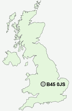
Postcode : B45 0JS, Frankley, Birmingham, West Midlands
Wareham Road, Rednal, Rubery.
B45 0JS close to Frankley and Rubery.
Classification
B45 0JS : Multicultural metropolitans / Rented family living / Social renting young families
Local Authority Birmingham
Primary Care Trust South Birmingham
Ward Longbridge
Constituency Birmingham, Northfield
Region West Midlands
Country England
Postcode Area B : Birmingham
B45 Postcode Sectors
B45 0JS Nearby Postcode Districts
B1 B10 B11 B12 B13 B14 B15 B16 B17 B18 B19 B2 B21 B25 B26 B27 B28 B29 B3 B30 B31 B32 B33 B34 B36 B37 B38 B4 B40 B45 B46 B47 B48 B5 B6 B60 B61 B62 B63 B64 B65 B66 B67 B68 B69 B7 B8 B9 B90 B91 B92 B93 B94 DY10 DY11 DY12 DY13 DY2 DY5 DY6 DY7 DY8 DY9
Stations near to B45 0JS
Longbridge Rail Station about 1.26 miles away.Northfield Rail Station about 1.6 miles away.
Barnt Green Rail Station about 3.3 miles away.
B45 0JS Schools
Forestdale Primary SchoolBalaam Wood School
Reaside Junior School
Beaconside Primary and Nursery School
Turves Green Boys' School
Turves Green Girls' School
Waseley Hills High School and Sixth Form Centre
Shenley Court Specialist Arts College and Sixth Form Centre
UK Search
Antique Clocks
Browse Antique Clocks for sale from British antique dealers.