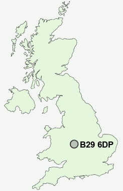
Postcode : B29 6DP, Bournbrook, Birmingham, West Midlands
Heeley Road, Birmingham.
B29 6DP close to Bournbrook, Selly Park, Selly Oak and Griffins Hill.
Classification
B29 6DP : Cosmopolitans / Students around campus / Student digs
Local Authority Birmingham
Primary Care Trust South Birmingham
Ward Selly Oak
Constituency Birmingham, Selly Oak
Region West Midlands
Country England
Postcode Area B : Birmingham
B29 Postcode Sectors
B29 6DP Nearby Postcode Districts
B1 B10 B11 B12 B13 B14 B15 B16 B17 B18 B19 B2 B20 B21 B23 B24 B25 B26 B27 B28 B29 B3 B30 B31 B32 B33 B34 B35 B36 B37 B38 B4 B40 B42 B45 B46 B47 B48 B5 B6 B61 B62 B63 B64 B65 B66 B67 B68 B69 B7 B70 B71 B8 B9 B90 B91 B92 B93 B94 CV4 CV5 CV7 CV8 DY1 DY10 DY11 DY12 DY2 DY3 DY4 DY5 DY6 DY7 DY8 DY9 WV5
Stations near to B29 6DP
Bournville Rail Station about 1.11 miles away.Kings Norton Rail Station about 1.93 miles away.
Five Ways Rail Station about 2.2 miles away.
Birmingham New Street Rail Station about 2.86 miles away.
Birmingham Moor Street Rail Station about 3.11 miles away.
Birmingham Snow Hill Rail Station about 3.22 miles away.
Jewellery Quarter Rail Station about 3.39 miles away.
Longbridge Rail Station about 3.72 miles away.
B29 6DP Schools
Water Mill Primary SchoolSelly Park Technology College for Girls
Harborne Hill School
Northfield Manor Junior and Infant School
Bournville School and Sixth Form Centre
Paganel Primary School
Welsh House Farm Community School and Special Needs Resources Base
Green Meadow Primary School
UK Search
Antique Clocks
Browse Antique Clocks for sale from British antique dealers.