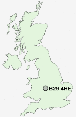
Postcode : B29 4HE, Shenley Fields, Birmingham, West Midlands
Birmingham, West Midlands.
B29 4HE close to Shenley Fields, Bartley Green, Lodge Hill and Weoley Castle.
Classification
B29 4HE : Suburbanites / Semi-detached suburbia / Semi-detached ageing
Local Authority Birmingham
Primary Care Trust South Birmingham
Ward Weoley
Constituency Birmingham, Northfield
Region West Midlands
Country England
Postcode Area B : Birmingham
B29 Postcode Sectors
B29 4HE Nearby Postcode Districts
B1 B10 B11 B12 B13 B14 B15 B16 B17 B18 B19 B2 B20 B21 B23 B24 B25 B26 B27 B28 B29 B3 B30 B31 B32 B33 B34 B35 B36 B37 B38 B4 B40 B45 B46 B47 B48 B5 B6 B61 B62 B63 B64 B65 B66 B67 B68 B69 B7 B70 B8 B9 B90 B91 B92 B93 B94 DY1 DY10 DY11 DY12 DY13 DY2 DY5 DY6 DY7 DY8 DY9 WV15
Stations near to B29 4HE
Northfield Rail Station about 1.51 miles away.Selly Oak Rail Station about 1.96 miles away.
Kings Norton Rail Station about 2.14 miles away.
Longbridge Rail Station about 2.26 miles away.
University Rail Station about 2.29 miles away.
B29 4HE Schools
Paganel Primary SchoolForestdale Primary School
UK Search
Antique Clocks
Browse Antique Clocks for sale from British antique dealers.