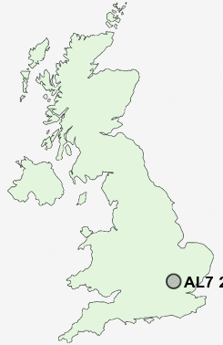
Postcode : AL7 2AZ, Hertfordshire
Watchlytes, Welwyn Garden City.
AL7 2AZ close to Panshanger, Hall Grove and Peartree.
Classification
AL7 2AZ : Constrained city dwellers / Challenged diversity / Hampered aspiration
Local Authority Welwyn Hatfield
Primary Care Trust Hertfordshire
Ward Haldens
Constituency Welwyn Hatfield
Region Eastern
Country England
Postcode Area AL : St Albans
AL7 Postcode Sectors
AL7 2AZ Nearby Postcode Districts
AL1 AL10 AL2 AL3 AL4 AL5 AL6 AL7 AL8 AL9 CM16 CM17 CM18 CM19 CM20 CM21 CM22 CM23 EN10 EN11 EN6 EN7 HP1 HP2 HP3 HP4 LU1 LU2 LU4 LU6 SG10 SG11 SG12 SG13 SG14 SG2 SG3 WD4 WD5
Stations near to AL7 2AZ
Welwyn Garden City Rail Station about 1.33 miles away.Welwyn North Rail Station about 1.89 miles away.
Hatfield (Herts) Rail Station about 3.02 miles away.
AL7 2AZ Schools
Watchlytes Junior Mixed Infant and Nursery SchoolSpringmead Primary School
Sir Frederic Osborn School
Panshanger Primary School
Commonswood Primary & Nursery School
Holwell Primary School
Peartree Primary School
Creswick Primary & Nursery School
Templewood Primary School
Homerswood Primary and Nursery School
UK Search
Antique Clocks
Browse Antique Clocks for sale from British antique dealers.