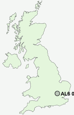
Postcode : AL6 0AS, Hertfordshire
Harmer Green Lane, Welwyn.
AL6 0AS close to Digswell, Harmer Green, Digswell Water and Danesbury.
Classification
AL6 0AS : Suburbanites / Suburban achievers / Indian tech achievers
Local Authority Welwyn Hatfield
Primary Care Trust Hertfordshire
Ward Welwyn East
Constituency Welwyn Hatfield
Region Eastern
Country England
Postcode Area AL : St Albans
AL6 Postcode Sectors
AL6 0AS Nearby Postcode Districts
AL1 AL10 AL3 AL4 AL5 AL6 AL7 AL8 AL9 CM17 CM18 CM19 CM20 CM21 CM23 CM24 EN10 EN11 HP1 HP2 HP3 HP4 LU1 LU2 LU3 LU4 LU5 LU6 SG1 SG10 SG11 SG12 SG13 SG14 SG2 SG3 SG4
Stations near to AL6 0AS
Welwyn North Rail StationWelwyn Garden City Rail Station about 1.83 miles away.
Knebworth Rail Station about 2.81 miles away.
AL6 0AS Schools
Homerswood Primary and Nursery SchoolMonks Walk School
Oaklands Primary School
Templewood Primary School
Panshanger Primary School
Sir Frederic Osborn School
Springmead Primary School
UK Search
Antique Clocks
Browse Antique Clocks for sale from British antique dealers.