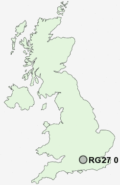
Postcode : RG27 0, Hampshire
Postcodes in the RG27 0 district. Covering areas such as Wildmoor, Sherfield on Loddon, Hartley Wespall, Heckfield, Turgis Green, Up Green, Lyde Green, Eversley Centre, Eversley Cross, Stratfield Turgis, Chandlers Green, Eversley, Church End, Lower Common, Bramshill and Hampshire.
Postcode Area RG : Reading
RG27 Postcode Sectors
RG27 9 Andwell, Heather Row, Holt, Hook, Nately Scures
RG27 0 Bramshill, Chandlers Green, Church End, Eversley, Eversley Centre
RG27 0 Bramshill, Chandlers Green, Church End, Eversley, Eversley Centre
RG27 0 Nearby Postcode Districts
GU11 GU12 GU13 GU14 GU15 GU16 GU17 GU18 GU19 GU20 GU24 GU3 GU46 GU47 GU51 GU52 GU9 RG14 RG19 RG20 RG21 RG22 RG23 RG24 RG25 RG26 RG27 RG28 RG29 RG40 RG45 RG7
Stations near to RG27 0
Bramley (Hants) Rail Station about 2.6 miles away.RG27 0 Schools
Sherfield SchoolWhitewater Church of England Primary School
Four Lanes Community Junior School
Four Lanes Infant School
UK Search
Antique Furniture
1000s of pieces of Antique Furniture for sale from British antique dealers.