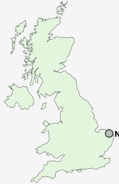
Postcode : NR12 8, Norfolk
Postcodes in the NR12 8 district. Covering areas such as Upper Street, Threehammer Common, Pennygate, Tunstead, Frankfort, Belaugh, Cangate, Workhouse Common, Irstead Street, Sco Ruston, Wroxham, Horning, Anchor Street, Crowgate Street, Butcher's Common and Norfolk.
Postcode Area NR : Norwich
NR12 Postcode Sectors
NR12 8 Anchor Street, Ashmanhaugh, Barton Turf, Beeston St Lawrence, Belaugh
NR12 0 Bacton, Bacton Green, Broomholm, Bush Estate, Eccles on Sea
NR12 0 Bacton, Bacton Green, Broomholm, Bush Estate, Eccles on Sea
NR12 9 Cat's Common, Chapel Field, East Ruston, Smallburgh, Stalham
NR12 7 Coltishall, Crostwick, Frettenham, Horstead, Little Hautbois
NR12 7 Coltishall, Crostwick, Frettenham, Horstead, Little Hautbois
NR12 8 Nearby Postcode Districts
NR1 NR10 NR12 NR13 NR2 NR29 NR3 NR30 NR4 NR5 NR6 NR8 NR9
Stations near to NR12 8
Hoveton & Wroxham Rail Station about 0.66 miles away.Salhouse Rail Station about 2.25 miles away.
NR12 8 Schools
St John's Community Primary School and NurseryBroadland High School
UK Search
Antique Furniture
1000s of pieces of Antique Furniture for sale from British antique dealers.