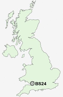
Postcode : BS24, North Somerset
Postcodes in the BS24 sector. Covering areas such as Wick, Puxton, Way Wick, Batch, Hewish, Bleadon, Nye, South Hill, West Wick, Upper Canada, Rolstone, Lower Canada, West Hewish, Eastertown, May's Green and North Somerset.
Postcode Area BS : Bristol
BS24 Postcode Sectors
BS24 0 Batch, Bleadon, Eastertown, Edingworth, Lympsham
BS24 6 East Hewish, East Rolstone, Hewish, May's Green, Nye
BS24 7 Elborough, West Wick
BS24 6 East Hewish, East Rolstone, Hewish, May's Green, Nye
BS24 7 Elborough, West Wick
BS24 Nearby Postcode Districts
BS13 BS14 BS22 BS23 BS24 BS25 BS26 BS27 BS29 BS39 BS40 BS41 BS48 BS49 CF62 CF63 TA8
Stations near to BS24
Weston Milton Rail Station about 1.55 miles away.Weston-super-Mare Rail Station about 2.09 miles away.
Worle Rail Station about 2.35 miles away.
BS24 Schools
Locking Primary SchoolOldmixon Primary School
Windwhistle Primary School
Wyvern Community School
Mead Vale Community Primary School
Ashcombe Primary School
Herons Moor Community Primary School
Worle Community School
UK Search
Antique Clocks
Browse Antique Clocks for sale from British antique dealers.