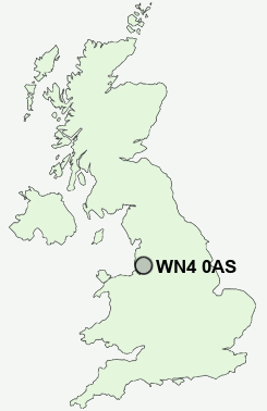
Postcode : WN4 0AS, Ashton-in-Makerfield, Wigan, Greater Manchester
Eldon Gardens, Ashton-in-Makerfield, Wigan.
WN4 0AS close to Bryn, Land Gate, Stubshaw Cross and Downall Green.
Classification
WN4 0AS : Hard-pressed living / Hard pressed ageing workers / Renting hard-pressed workers
Local Authority Wigan
Primary Care Trust Ashton, Leigh and Wigan
Ward Bryn
Constituency Makerfield
Region North West
Country England
Postcode Area WN : Wigan
WN4 Postcode Sectors
WN4 0AS Nearby Postcode Districts
BL1 BL2 BL3 BL4 BL5 BL6 BL9 CH44 L1 L10 L11 L12 L13 L14 L2 L20 L21 L22 L23 L28 L29 L3 L30 L31 L32 L33 L34 L35 L36 L39 L4 L5 L6 L69 L7 L70 L9 M15 M16 M17 M21 M25 M26 M27 M28 M29 M3 M30 M31 M32 M33 M38 M41 M44 M45 M46 M5 M6 M7 WA10 WA11 WA12 WA2 WA3 WA9 WN1 WN2 WN3 WN4 WN5 WN6 WN7 WN8
Stations near to WN4 0AS
Bryn Rail StationGarswood Rail Station about 1.26 miles away.
Pemberton Rail Station about 2.27 miles away.
Wigan North Western Rail Station about 3.07 miles away.
Ince (Manchester) Rail Station about 3.08 miles away.
Wigan Wallgate Rail Station about 3.15 miles away.
Earlestown Rail Station about 3.42 miles away.
Newton-le-Willows Rail Station about 3.56 miles away.
WN4 0AS Schools
Nicol Mere SchoolCansfield High School
R L Hughes Primary School
Marus Bridge Primary School
Winstanley Community Primary School
Abram Bryn Gates Primary School
Hawkley Hall High School
UK Search
Antique Furniture
1000s of pieces of Antique Furniture for sale from British antique dealers.