Postcode : WF11 9HQ, Knottingley, Wakefield, West Yorkshire
Brotherton, Knottingley, England.
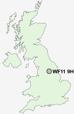
WF11 9HQ close to Brotherton, Byram, Sutton and Ferrybridge.
Classification
WF11 9HQ : Hard-pressed living / Industrious communities / Industrious transitions
Local Authority Selby
Primary Care Trust North Yorkshire and York
Ward Byram & Brotherton
Constituency Selby and Ainsty
Region Yorkshire and The Humber
Country England
Postcode Area WF : Wakefield
WF11 Postcode Sectors
WF11 9HQ Nearby Postcode Districts
DN14 LS1 LS10 LS11 LS12 LS13 LS15 LS2 LS25 LS26 LS27 LS28 LS3 LS4 LS5 LS6 LS7 LS9 WF1 WF10 WF11 WF12 WF13 WF16 WF17 WF2 WF3 WF4 WF5 WF6 WF7 WF8 YO8
Stations near to WF11 9HQ
Knottingley Rail Station about 1.27 miles away.Pontefract Monkhill Rail Station about 2.2 miles away.
Pontefract Baghill Rail Station about 2.59 miles away.
Pontefract Tanshelf Rail Station about 2.86 miles away.
WF11 9HQ Schools
Brotherton and Byram Community Primary SchoolKnottingley Vale Junior and Infant School
Burton Salmon Community Primary School
Knottingley Simpson's Lane Junior and Infant School
Fairburn Community Primary School
Castleford Oyster Park Junior School
Castleford Oyster Park Infant School
Knottingley England Lane Junior and Infant School
Pontefract Orchard Head Junior and Infant School
Knottingley High School and Sports College
UK Search
Antique Furniture
1000s of pieces of Antique Furniture for sale from British antique dealers.