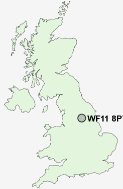
Postcode : WF11 8PT, Knottingley, Wakefield, West Yorkshire
Hampden Close, Knottingley.
WF11 8PT close to Ferrybridge, Brotherton and Byram.
Classification
WF11 8PT : Hard-pressed living / Industrious communities / Industrious transitions
Local Authority Wakefield
Primary Care Trust Wakefield District
Ward Knottingley
Constituency Normanton, Pontefract and Castleford
Region Yorkshire and The Humber
Country England
Postcode Area WF : Wakefield
WF11 Postcode Sectors
WF11 8PT Nearby Postcode Districts
BD11 DN14 DN8 LS1 LS10 LS11 LS12 LS13 LS15 LS2 LS25 LS26 LS27 LS28 LS3 LS4 LS9 WF1 WF10 WF11 WF12 WF13 WF16 WF17 WF2 WF3 WF4 WF5 WF6 WF7 WF8 YO8
Stations near to WF11 8PT
Knottingley Rail Station about 0.84 miles away.Pontefract Monkhill Rail Station about 1.36 miles away.
Pontefract Baghill Rail Station about 1.7 miles away.
Pontefract Tanshelf Rail Station about 2.05 miles away.
WF11 8PT Schools
Brotherton and Byram Community Primary SchoolCherry Tree Academy
Airedale High School
Knottingley High School and Sports College
Castleford Airedale Infant School
Castleford Townville Infants' School
Castleford Oyster Park Junior School
Castleford Oyster Park Infant School
Castleford Redhill Infant School
Castleford Redhill Junior School
UK Search
Antique Furniture
1000s of pieces of Antique Furniture for sale from British antique dealers.