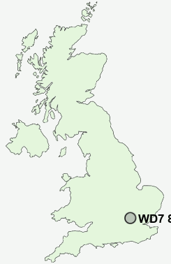
Postcode : WD7 8LU, Radlett, Hertfordshire
Watford Road, Radlett.
Classification
WD7 8LU : Urbanites / Urban professionals and families / Multi-ethnic professionals with families
Local Authority Hertsmere
Primary Care Trust Hertfordshire
Ward Aldenham West
Constituency Hertsmere
Region Eastern
Country England
Postcode Area WD : Watford
WD7 Postcode Sectors
WD7 8LU Nearby Postcode Districts
AL1 AL10 AL2 AL3 AL4 AL9 E17 E18 E4 EN1 EN10 EN11 EN2 EN3 EN4 EN5 EN6 EN7 EN8 EN9 HA3 HA5 HA6 HA7 HA8 HP1 HP10 HP15 HP16 HP2 HP3 HP4 HP5 HP6 HP7 HP8 HP9 IG10 IG5 IG8 IG9 N10 N11 N12 N13 N14 N15 N17 N18 N2 N20 N21 N22 N3 N8 N9 NW4 NW7 NW9 SL9 UB9 WD1 WD17 WD18 WD19 WD2 WD23 WD24 WD25 WD3 WD4 WD5 WD6 WD7
Stations near to WD7 8LU
Radlett Rail Station about 0.79 miles away.Bricket Wood Rail Station about 2.03 miles away.
Garston (Herts) Rail Station about 2.09 miles away.
How Wood (Herts) Rail Station about 2.61 miles away.
Park Street Rail Station about 3.12 miles away.
WD7 8LU Schools
Fair Field Junior SchoolNewberries Primary School
Bhaktivedanta Manor School
Haberdashers' Aske's Boys' School
UK Search
Antique Furniture
1000s of pieces of Antique Furniture for sale from British antique dealers.