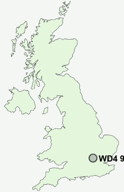
Postcode : WD4 9HN, Hertfordshire
Love Lane, Kings Langley.
WD4 9HN close to Whippendell Bottom and Kings Langley.
Classification
WD4 9HN : Urbanites / Urban professionals and families / Multi-ethnic professionals with families
Local Authority Dacorum
Primary Care Trust Hertfordshire
Ward Kings Langley
Constituency Hemel Hempstead
Region Eastern
Country England
Postcode Area WD : Watford
WD4 Postcode Sectors
WD4 9HN Nearby Postcode Districts
AL1 AL10 AL2 AL3 AL4 AL5 AL7 AL8 AL9 EN1 EN2 EN4 EN5 EN6 EN7 HP1 HP11 HP12 HP13 HP14 HP15 HP16 HP2 HP21 HP22 HP23 HP27 HP3 HP4 HP5 HP6 HP7 HP8 N13 N14 N20 N21 SG13 SG14 WD1 WD17 WD18 WD19 WD2 WD23 WD24 WD25 WD3 WD4 WD5 WD6 WD7
Stations near to WD4 9HN
Apsley Rail Station about 1.09 miles away.Kings Langley Rail Station about 1.19 miles away.
Hemel Hempstead Rail Station about 2.19 miles away.
WD4 9HN Schools
Kings Langley SchoolKings Langley Primary School
Belswains Primary School
Chambersbury Primary School
Longdean School
UK Search
Antique Furniture
1000s of pieces of Antique Furniture for sale from British antique dealers.