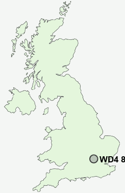
Postcode : WD4 8LL, Kings Langley, Hertfordshire
Kings Langley, Hertfordshire, England.
WD4 8LL close to Kings Langley, Langleybury and Hunton Bridge.
Classification
WD4 8LL : Urbanites / Urban professionals and families / Multi-ethnic professionals with families
Local Authority Three Rivers
Primary Care Trust Hertfordshire
Ward Gade Valley
Constituency St Albans
Region Eastern
Country England
Postcode Area WD : Watford
WD4 Postcode Sectors
WD4 8LL Nearby Postcode Districts
AL1 AL10 AL2 AL3 AL4 AL7 AL8 AL9 EN1 EN2 EN4 EN5 EN6 EN7 HA6 HA7 HA8 HP1 HP10 HP11 HP12 HP13 HP14 HP15 HP16 HP2 HP21 HP22 HP23 HP27 HP3 HP4 HP5 HP6 HP7 HP8 HP9 N11 N12 N13 N14 N18 N20 N21 N9 NW7 SG13 WD1 WD17 WD18 WD19 WD2 WD23 WD24 WD25 WD3 WD4 WD5 WD6 WD7
Stations near to WD4 8LL
Kings Langley Rail StationApsley Rail Station about 2.09 miles away.
Watford North Rail Station about 2.97 miles away.
Watford Junction Rail Station about 3.45 miles away.
Watford Junction Rail Station about 3.46 miles away.
WD4 8LL Schools
Kings Langley SchoolBedmond Village Primary and Nursery School
Leavesden JMI School
Alban Wood Primary School and Nursery
Kingsway Infants' School
UK Search
Antique Furniture
1000s of pieces of Antique Furniture for sale from British antique dealers.