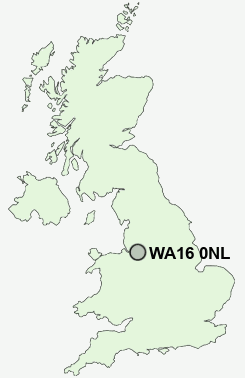
Postcode : WA16 0NL, Cheshire East, Cheshire
Knutsford, Cheshire East.
WA16 0NL close to Cross Town, Knutsford, Over Knutsford and Shaw Heath.
Classification
WA16 0NL : Urbanites / Ageing urban living / Communal retirement
Local Authority Cheshire East
Primary Care Trust Central and Eastern Cheshire
Ward Knutsford
Constituency Tatton
Region North West
Country England
Postcode Area WA : Warrington
WA16 Postcode Sectors
WA16 9 Allostock, Boots Green, Lower Peover, Over Peover, Parkgate
WA16 6 Bucklow Hill, High Legh, Hulseheath, New Mills, Rostherne
WA16 8 Cross Town, Knutsford, Marthall, Ollerton, Over Knutsford
WA16 6 Bucklow Hill, High Legh, Hulseheath, New Mills, Rostherne
WA16 8 Cross Town, Knutsford, Marthall, Ollerton, Over Knutsford
WA16 0 Hoo Green, Mere, Over Tabley, Pickmere, Plumley
WA16 7 Knolls Green, Lindow End, Mobberley, Noonsun, Paddockhill
WA16 7 Knolls Green, Lindow End, Mobberley, Noonsun, Paddockhill
WA16 0NL Nearby Postcode Districts
CW4 CW8 CW9 M22 M23 M90 SK10 SK11 SK12 SK2 SK22 SK3 SK7 SK8 SK9 WA1 WA13 WA14 WA15 WA16 WA4 WA5 WA6 WA7 WA8
Stations near to WA16 0NL
Knutsford Rail StationMobberley Rail Station about 2.49 miles away.
Plumley Rail Station about 2.69 miles away.
WA16 0NL Schools
Egerton Primary SchoolYorston Lodge School
Knutsford High School
St Vincent's Catholic Primary School
Bexton Primary School
Manor Park School and Nursery
UK Search
Antique Furniture
1000s of pieces of Antique Furniture for sale from British antique dealers.