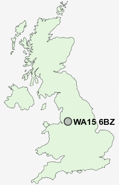
Postcode : WA15 6BZ, Timperley, Trafford, Greater Manchester
Crofton Avenue, Timperley, Altrincham.
Classification
WA15 6BZ : Suburbanites / Semi-detached suburbia / Semi-detached ageing
Local Authority Trafford
Primary Care Trust Trafford
Ward Timperley
Constituency Altrincham and Sale West
Region North West
Country England
Postcode Area WA : Warrington
WA15 Postcode Sectors
WA15 6BZ Nearby Postcode Districts
M1 M11 M12 M13 M14 M15 M16 M17 M18 M19 M2 M20 M21 M22 M23 M3 M30 M31 M32 M33 M34 M4 M40 M41 M43 M44 M5 M6 M60 M7 M90 OL6 OL7 SK1 SK12 SK13 SK14 SK15 SK16 SK2 SK22 SK23 SK3 SK4 SK5 SK6 SK7 SK8 SK9 WA1 WA11 WA12 WA13 WA14 WA15 WA2 WA3 WA4 WA5 WA7 WA9 WN4 WN7
Stations near to WA15 6BZ
Navigation Road Rail Station about 1.04 miles away.Altrincham Rail Station about 1.54 miles away.
Hale Rail Station about 2.09 miles away.
Urmston Rail Station about 3.14 miles away.
Humphrey Park Rail Station about 3.19 miles away.
Chassen Road Rail Station about 3.28 miles away.
Trafford Park Rail Station about 3.42 miles away.
WA15 6BZ Schools
Heyes Lane Infant SchoolHeyes Lane Primary School
Park Road Primary School
Willows Primary School
Navigation Primary School
Broomwood Primary School
Broadheath Primary School
Altrincham College of Arts
Stamford Park Junior School
Stamford Park Infant School
UK Search
Antique Furniture
1000s of pieces of Antique Furniture for sale from British antique dealers.