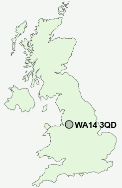
Postcode : WA14 3QD, Altrincham, Trafford, Greater Manchester
Ashley, Altrincham, Cheshire East.
WA14 3QD close to Hale and Ashley Heath.
Classification
WA14 3QD : Rural residents / Rural tenants / Rural white-collar workers
Local Authority Cheshire East
Primary Care Trust Central and Eastern Cheshire
Ward Mobberley
Constituency Tatton
Region North West
Country England
Postcode Area WA : Warrington
WA14 Postcode Sectors
WA14 5 Broadheath, Dunham Woodhouses, Sinderland Green
WA14 4 Dunham Town, Little Bollington, Oldfield Brow
WA14 4 Dunham Town, Little Bollington, Oldfield Brow
WA14 3QD Nearby Postcode Districts
CW9 M14 M16 M19 M20 M21 M22 M23 M31 M32 M33 M41 M44 M90 SK1 SK10 SK12 SK13 SK14 SK2 SK22 SK23 SK3 SK4 SK5 SK6 SK7 SK8 SK9 WA1 WA12 WA13 WA14 WA15 WA16 WA2 WA3 WA4 WA5 WA6 WA7 WA8 WA9
Stations near to WA14 3QD
Ashley Rail StationHale Rail Station about 1.61 miles away.
Mobberley Rail Station about 1.87 miles away.
Altrincham Rail Station about 2.22 miles away.
Navigation Road Rail Station about 2.74 miles away.
WA14 3QD Schools
Elmridge Primary SchoolAltrincham Grammar School for Boys
Bollin Primary School
Well Green Primary School
Stamford Park Junior School
Stamford Park Infant School
Altrincham Grammar School for Girls
UK Search
Antique Furniture
1000s of pieces of Antique Furniture for sale from British antique dealers.