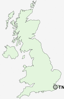
Postcode : TN23 5LB, Great Chart, Kent
Ashford, Kent.
TN23 5LB close to Great Chart, Chilmington Green and Stanhope.
Classification
TN23 5LB : Suburbanites / Semi-detached suburbia / White suburban communities
Local Authority Ashford
Primary Care Trust Eastern and Coastal Kent
Ward Singleton South
Constituency Ashford
Region South East
Country England
Postcode Area TN : Tonbridge
TN23 Postcode Sectors
TN23 5LB Nearby Postcode Districts
CT18 CT19 CT20 CT21 CT4 ME17 TN17 TN18 TN23 TN24 TN25 TN26 TN27 TN30
Stations near to TN23 5LB
Ashford International Rail Station about 1.61 miles away.TN23 5LB Schools
Great Chart Primary SchoolBeaver Green Primary School
Oak Tree Primary School
St Simon of England Roman Catholic Primary School, Ashford
Ashford South Community Primary School
Linden Grove Primary School
Godinton Primary School
Victoria Road Primary School
Threshold Learning Centre
Highworth Grammar School for Girls
Ashford School
UK Search
Antique Furniture
1000s of pieces of Antique Furniture for sale from British antique dealers.