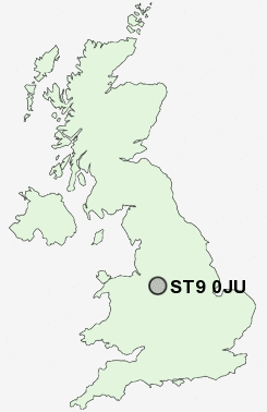
Postcode : ST9 0JU, Washerwall, Staffordshire
Washerwall Lane, Werrington, Stoke-on-Trent.
ST9 0JU close to Washerwall, Werrington, Ash Bank and Armshead.
Classification
ST9 0JU : Hard-pressed living / Industrious communities / Industrious hardship
Local Authority Staffordshire Moorlands
Primary Care Trust North Staffordshire
Ward Cellarhead
Constituency Staffordshire Moorlands
Region West Midlands
Country England
Postcode Area ST : Stoke on Trent
ST9 Postcode Sectors
ST9 0JU Nearby Postcode Districts
CW1 CW2 CW3 DE6 ST1 ST10 ST11 ST12 ST13 ST2 ST3 ST4 ST5 ST6 ST7 ST8 ST9
Stations near to ST9 0JU
Longton Rail Station about 2.92 miles away.ST9 0JU Schools
Werrington Primary SchoolMoorside High School
Maple Court Primary School
Mitchell High School
UK Search
Antique Furniture
1000s of pieces of Antique Furniture for sale from British antique dealers.