Postcode : ST3 4PZ, Stoke-on-Trent, Staffordshire
Stoke-on-Trent.
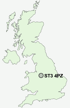
ST3 4PZ close to Normacot, Florence, Lightwood, Meir and Dresden.
Classification
ST3 4PZ : Multicultural metropolitans / Challenged Asian terraces / Pakistani communities
Local Authority Stoke-on-Trent
Primary Care Trust Stoke on Trent
Ward Lightwood North and Normacot
Constituency Stoke-on-Trent South
Region West Midlands
Country England
Postcode Area ST : Stoke on Trent
ST3 Postcode Sectors
ST3 5 Adderley Green, Hulme, Sandford Hill, Weston Coyney
ST3 3 Blurton, Newstead
ST3 4 Dresden, Florence, Hartwell
ST3 3 Blurton, Newstead
ST3 4 Dresden, Florence, Hartwell
ST3 2 Heron Cross, Hollybush, Longton
ST3 7 Leadendale, Lightwood, Meir Heath, Normacot, Rough Close
ST3 6 Meir
ST3 7 Leadendale, Lightwood, Meir Heath, Normacot, Rough Close
ST3 6 Meir
ST3 4PZ Nearby Postcode Districts
CW3 ST1 ST10 ST11 ST12 ST14 ST15 ST2 ST3 ST4 ST5 ST6 ST9 TF9
Stations near to ST3 4PZ
Longton Rail Station about 0.98 miles away.Barlaston Rail Station about 3.34 miles away.
ST3 4PZ Schools
Alexandra Infants' SchoolAlexandra Junior School
Park Hall Primary School
Grange Primary School
Gladstone Primary
Weston Coyney Junior School
Clarice Cliff Primary School
Sandford Hill Primary School
Weston Heights Infant School
Blurton Primary School
UK Search
Antique Furniture
1000s of pieces of Antique Furniture for sale from British antique dealers.