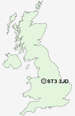
Postcode : ST3 3JD, Blurton, Stoke-on-Trent, Staffordshire
Beaconsfield Drive, Stoke-on-Trent.
ST3 3JD close to Blurton, Newstead and Dresden.
Classification
ST3 3JD : Constrained city dwellers / White communities / Constrained young families
Local Authority Stoke-on-Trent
Primary Care Trust Stoke on Trent
Ward Blurton West and Newstead
Constituency Stoke-on-Trent South
Region West Midlands
Country England
Postcode Area ST : Stoke on Trent
ST3 Postcode Sectors
ST3 5 Adderley Green, Hulme, Sandford Hill, Weston Coyney
ST3 3 Blurton, Newstead
ST3 4 Dresden, Florence, Hartwell
ST3 3 Blurton, Newstead
ST3 4 Dresden, Florence, Hartwell
ST3 2 Heron Cross, Hollybush, Longton
ST3 7 Leadendale, Lightwood, Meir Heath, Normacot, Rough Close
ST3 6 Meir
ST3 7 Leadendale, Lightwood, Meir Heath, Normacot, Rough Close
ST3 6 Meir
ST3 3JD Nearby Postcode Districts
CW3 CW5 ST1 ST10 ST11 ST12 ST14 ST15 ST2 ST3 ST4 ST5 ST6 ST9 TF9
Stations near to ST3 3JD
Wedgwood Rail Station about 1.57 miles away.Longton Rail Station about 1.58 miles away.
Barlaston Rail Station about 2.11 miles away.
Stoke-on-Trent Rail Station about 2.51 miles away.
ST3 3JD Schools
Sutherland Primary SchoolBlurton Primary School
Newstead Primary School
Ash Green Primary School
Heron Cross Primary School
Edensor Technology College
Glebe Primary School
Clarice Cliff Primary School
Oakhill Primary School
UK Search
Antique Furniture
1000s of pieces of Antique Furniture for sale from British antique dealers.