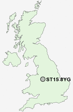
Postcode : ST15 8YG, Stone, Staffordshire
Stone, Staffordshire.
ST15 8YG close to Oultoncross, Stonefield, Walton and Oulton Grange.
Classification
ST15 8YG : Constrained city dwellers / Ageing city dwellers / Ageing communities and families
Local Authority Stafford
Primary Care Trust South Staffordshire
Ward St Michael's & Stonefield
Constituency Stone
Region West Midlands
Country England
Postcode Area ST : Stoke on Trent
ST15 Postcode Sectors
ST15 8YG Nearby Postcode Districts
CW3 ST10 ST11 ST12 ST14 ST15 ST16 ST18 ST21 ST3 ST4 TF9
Stations near to ST15 8YG
Stone Rail Station about 0.39 miles away.Barlaston Rail Station about 2.82 miles away.
Norton Bridge Rail Station about 3.06 miles away.
Wedgwood Rail Station about 3.39 miles away.
ST15 8YG Schools
St Dominic's Catholic Primary SchoolSt Dominic's Priory School
Christ Church CofE (C) First School
Christ Church CofE (A) Middle School
Manor Hill First School
Alleyne's High School
Pirehill First School
Walton Priory Middle School
St Michael's CofE (C) First School
Oulton CofE (C) First School
UK Search
Antique Furniture
1000s of pieces of Antique Furniture for sale from British antique dealers.