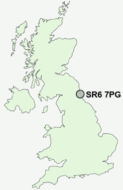
Postcode : SR6 7PG, Cleadon, Sunderland, Tyne And Wear
Front Street, Cleadon, Sunderland.
Classification
SR6 7PG : Rural residents / Rural tenants / Rural white-collar workers
Local Authority South Tyneside
Primary Care Trust South Tyneside
Ward Cleadon and East Boldon
Constituency Jarrow
Region North East
Country England
Postcode Area SR : Sunderland
SR6 Postcode Sectors
SR6 7PG Nearby Postcode Districts
DH2 DH3 DH9 NE1 NE10 NE11 NE12 NE13 NE15 NE16 NE2 NE20 NE21 NE25 NE26 NE27 NE28 NE29 NE3 NE30 NE31 NE32 NE33 NE34 NE35 NE36 NE37 NE38 NE39 NE4 NE40 NE5 NE6 NE7 NE8 NE9 NE99 SR1 SR2 SR3 SR4 SR5 SR6 SR9
Stations near to SR6 7PG
East Boldon Rail Station about 0.9 miles away.Seaburn Rail Station about 1.83 miles away.
St Peters Rail Station about 3.06 miles away.
Sunderland Rail Station about 3.48 miles away.
SR6 7PG Schools
Seaburn Dene Primary SchoolMonkwearmouth School
Harton Technology College
Willow Fields Community Primary School
UK Search
Antique Furniture
1000s of pieces of Antique Furniture for sale from British antique dealers.