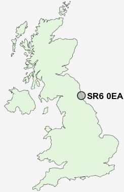
Postcode : SR6 0EA, Roker, Sunderland, Tyne And Wear
Sunderland, Tyne and Wear.
SR6 0EA close to Roker, Seaburn and Fulwell.
Classification
SR6 0EA : Ethnicity central / Ethnic dynamics / Constrained neighbourhoods
Local Authority Sunderland
Primary Care Trust Sunderland Teaching
Ward St Peter's
Constituency Sunderland Central
Region North East
Country England
Postcode Area SR : Sunderland
SR6 Postcode Sectors
SR6 0EA Nearby Postcode Districts
DH2 DH3 DH4 DH5 DH9 NE1 NE10 NE11 NE15 NE16 NE2 NE21 NE28 NE29 NE3 NE31 NE32 NE33 NE34 NE35 NE36 NE37 NE38 NE39 NE4 NE40 NE5 NE6 NE7 NE8 NE9 NE99 SR1 SR2 SR3 SR4 SR5 SR6 SR7 SR9
Stations near to SR6 0EA
St Peters Rail Station about 0.46 miles away.Sunderland Rail Station about 0.76 miles away.
Seaburn Rail Station about 1.08 miles away.
East Boldon Rail Station about 2.8 miles away.
SR6 0EA Schools
Dame Dorothy Primary SchoolRedby Primary School
Hudson Road Primary School
Thornhill School Business & Enterprise College
Seaburn Dene Primary School
Monkwearmouth School
Southmoor Community School, Mathematics and Computing College
Richard Avenue Primary School
Barnes Junior School
Barnes Infant School
UK Search
Antique Furniture
1000s of pieces of Antique Furniture for sale from British antique dealers.