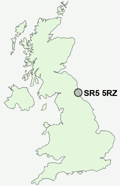
Postcode : SR5 5RZ, Marley Pots, Sunderland, Tyne And Wear
Winslow Close, Sunderland.
SR5 5RZ close to Marley Pots, Witherwack, Carley Hill, High Southwick, Southwick and Hylton Red House.
Classification
SR5 5RZ : Hard-pressed living / Migration and churn / Young hard-pressed families
Local Authority Sunderland
Primary Care Trust Sunderland Teaching
Ward Redhill
Constituency Washington and Sunderland West
Region North East
Country England
Postcode Area SR : Sunderland
SR5 Postcode Sectors
SR5 1 Ayres Quay, Monkwearmouth, Sunderland
SR5 2 Carley Hill, High Southwick
SR5 3 Castletown, Hylton Castle, North Hylton, Southwick
SR5 2 Carley Hill, High Southwick
SR5 3 Castletown, Hylton Castle, North Hylton, Southwick
SR5 5RZ Nearby Postcode Districts
DH2 DH3 DH4 DH9 NE1 NE10 NE11 NE12 NE15 NE16 NE2 NE21 NE28 NE29 NE3 NE30 NE31 NE32 NE33 NE34 NE35 NE36 NE37 NE38 NE39 NE4 NE40 NE5 NE6 NE7 NE8 NE9 NE99 SR1 SR2 SR3 SR4 SR5 SR6 SR7 SR9
Stations near to SR5 5RZ
Seaburn Rail Station about 1.13 miles away.East Boldon Rail Station about 1.19 miles away.
St Peters Rail Station about 1.76 miles away.
Sunderland Rail Station about 2.11 miles away.
Brockley Whins Rail Station about 2.77 miles away.
SR5 5RZ Schools
Willow Fields Community Primary SchoolHylton Red House Primary School
Seaburn Dene Primary School
Monkwearmouth School
Redby Primary School
Castletown Primary School
Boldon School
UK Search
Antique Furniture
1000s of pieces of Antique Furniture for sale from British antique dealers.