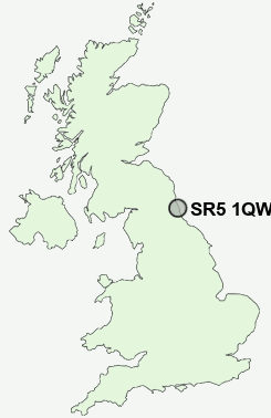
Postcode : SR5 1QW, Carley Hill, Sunderland, Tyne And Wear
Cairns Road, Sunderland.
SR5 1QW close to Carley Hill, High Southwick and Monkwearmouth.
Classification
SR5 1QW : Suburbanites / Semi-detached suburbia / Semi-detached ageing
Local Authority Sunderland
Primary Care Trust Sunderland Teaching
Ward Fulwell
Constituency Sunderland Central
Region North East
Country England
Postcode Area SR : Sunderland
SR5 Postcode Sectors
SR5 1 Ayres Quay, Monkwearmouth, Sunderland
SR5 2 Carley Hill, High Southwick
SR5 3 Castletown, Hylton Castle, North Hylton, Southwick
SR5 2 Carley Hill, High Southwick
SR5 3 Castletown, Hylton Castle, North Hylton, Southwick
SR5 1QW Nearby Postcode Districts
DH2 DH3 DH4 DH9 NE1 NE10 NE11 NE12 NE15 NE16 NE2 NE21 NE28 NE29 NE3 NE30 NE31 NE32 NE33 NE34 NE35 NE36 NE37 NE38 NE39 NE4 NE40 NE5 NE6 NE7 NE8 NE9 NE99 SR1 SR2 SR3 SR4 SR5 SR6 SR7 SR9
Stations near to SR5 1QW
Seaburn Rail StationSt Peters Rail Station about 1.26 miles away.
Sunderland Rail Station about 1.69 miles away.
East Boldon Rail Station about 1.73 miles away.
SR5 1QW Schools
Seaburn Dene Primary SchoolMonkwearmouth School
Redby Primary School
Willow Fields Community Primary School
Dame Dorothy Primary School
Diamond Hall Junior School
Hudson Road Primary School
UK Search
Antique Furniture
1000s of pieces of Antique Furniture for sale from British antique dealers.