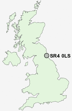
Postcode : SR4 0LS, South Hylton, Sunderland, Tyne And Wear
Union Street, South Hylton, Sunderland.
SR4 0LS close to South Hylton, Pennywell, Offerton and Springwell.
Classification
SR4 0LS : Hard-pressed living / Migration and churn / Hard-Pressed European Settlers
Local Authority Sunderland
Primary Care Trust Sunderland Teaching
Ward St Anne's
Constituency Washington and Sunderland West
Region North East
Country England
Postcode Area SR : Sunderland
SR4 Postcode Sectors
SR4 0LS Nearby Postcode Districts
DH2 DH3 DH4 DH5 DH8 DH9 NE1 NE10 NE11 NE15 NE16 NE17 NE2 NE21 NE28 NE31 NE32 NE33 NE34 NE35 NE36 NE37 NE38 NE39 NE4 NE40 NE41 NE5 NE6 NE7 NE8 NE9 NE99 SR1 SR2 SR3 SR4 SR5 SR6 SR7 SR9
Stations near to SR4 0LS
East Boldon Rail Station about 3.14 miles away.SR4 0LS Schools
South Hylton Primary SchoolCastletown Primary School
Broadway Junior School
Hylton Castle Primary School
Sandhill View School
Hylton Red House Primary School
Bexhill Primary School
Thorney Close Primary School
Town End Primary School
UK Search
Antique Furniture
1000s of pieces of Antique Furniture for sale from British antique dealers.