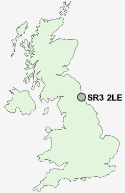
Postcode : SR3 2LE, Doxford Park, Sunderland, Tyne And Wear
Sunderland, Tyne and Wear.
SR3 2LE close to Doxford Park, Tunstall, Burdon and New Silksworth.
Classification
SR3 2LE : Hard-pressed living / Industrious communities / Industrious transitions
Local Authority Sunderland
Primary Care Trust Sunderland Teaching
Ward Doxford
Constituency Houghton and Sunderland South
Region North East
Country England
Postcode Area SR : Sunderland
SR3 Postcode Sectors
SR3 2LE Nearby Postcode Districts
DH1 DH2 DH3 DH4 DH5 DH7 DH9 NE10 NE11 NE16 NE21 NE35 NE36 NE37 NE38 NE39 NE40 NE8 NE9 SR1 SR2 SR3 SR4 SR5 SR6 SR7 SR9
Stations near to SR3 2LE
Sunderland Rail Station about 2.88 miles away.St Peters Rail Station about 3.26 miles away.
SR3 2LE Schools
Mill Hill Primary SchoolNew Silksworth Junior School
New Silksworth Infant School
East Herrington Primary School
Thorney Close Primary School
Ryhope Junior School
Ryhope Infant School
Hill View Infant School
Sandhill View School
UK Search
Antique Furniture
1000s of pieces of Antique Furniture for sale from British antique dealers.