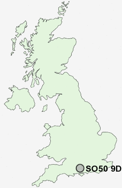
Postcode : SO50 9DH, Eastleigh, Hampshire
Toynbee Road, Eastleigh.
Classification
SO50 9DH : Hard-pressed living / Migration and churn / Hard-pressed ethnic mix
Local Authority Eastleigh
Primary Care Trust Hampshire
Ward Eastleigh Central
Constituency Eastleigh
Region South East
Country England
Postcode Area SO : Southampton
SO50 Postcode Sectors
SO50 9DH Nearby Postcode Districts
GU32 PO17 PO7 PO8 SO14 SO15 SO16 SO17 SO18 SO19 SO22 SO23 SO30 SO32 SO40 SO43 SO50 SO51 SO52 SO53
Stations near to SO50 9DH
Eastleigh Rail Station about 0.37 miles away.Chandlers Ford Rail Station about 1.45 miles away.
Southampton Airport Parkway Rail Station about 1.48 miles away.
Swaythling Rail Station about 2.28 miles away.
St Denys Rail Station about 3.68 miles away.
SO50 9DH Schools
Norwood Primary SchoolCrestwood Community School
Shakespeare Junior School
Quilley School of Engineering
The Toynbee School
Nightingale Primary School
Thornden School
UK Search
Antique Furniture
1000s of pieces of Antique Furniture for sale from British antique dealers.