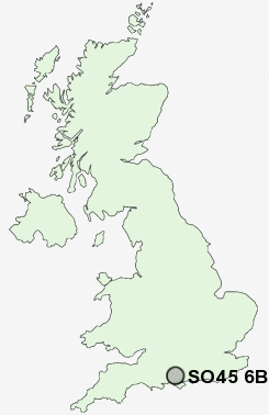
Postcode : SO45 6BL, Hythe, Hampshire
School Road, Hythe, Southampton.
SO45 6BL close to Hythe, Langdown and Dibden Purlieu.
Classification
SO45 6BL : Constrained city dwellers / Ageing city dwellers / Ageing communities and families
Local Authority New Forest
Primary Care Trust Hampshire
Ward Dibden and Hythe East
Constituency New Forest East
Region South East
Country England
Postcode Area SO : Southampton
SO45 Postcode Sectors
SO45 5 Applemore, Dibden
SO45 1 Ashlett, Blackfield, Calshot, Exbury, Fawley
SO45 3 Buttsash, Frostlane, Langdown
SO45 1 Ashlett, Blackfield, Calshot, Exbury, Fawley
SO45 3 Buttsash, Frostlane, Langdown
SO45 6BL Nearby Postcode Districts
BH24 PO1 PO12 PO13 PO14 PO15 PO16 PO17 PO2 PO3 PO4 PO5 PO6 PO7 PO8 SO14 SO15 SO16 SO17 SO18 SO19 SO30 SO31 SO32 SO40 SO42 SO43 SO45 SO50 SP6
Stations near to SO45 6BL
Southampton Town Quay about 1.8 miles away.Woolston Rail Station about 2.3 miles away.
Sholing Rail Station about 2.46 miles away.
Southampton Central Rail Station about 2.69 miles away.
Millbrook (Hants) Rail Station about 3.24 miles away.
Bitterne Rail Station about 3.54 miles away.
SO45 6BL Schools
Hythe Primary SchoolOrchard Infant School
Orchard Junior School
Noadswood School
Wildground Junior School
Wildground Infant School
UK Search
Antique Furniture
1000s of pieces of Antique Furniture for sale from British antique dealers.